+40 751 860 876
Exploring Landscapes and Prospects: Cadastre, Surveying and Photogrammetry for Sustainable Opportunities
Discover quality and experience with VALTOP EXPERT SRL! We offer customized surveying, cadastre, photogrammetry and consulting services throughout the country.
About Us
At VALTOP EXPERT SRL, is the perfect trusted destination for specialist surveying, cadastre and photogrammetry services in Calarasi and throughout the country. With extensive experience in our industry and a firm commitment to excellence, we are dedicated to providing our clients with accurate and innovative solutions for any project.
Our services
01
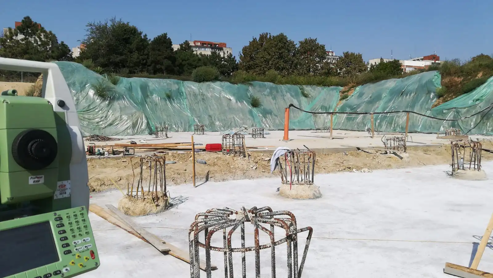
Cadastre Services
Cadastral services are essential to ensure clarity and legality of ownership. Whether you are a landowner, property developer or representative of a public or private institution, we understand the importance of accurate and up-to-date cadastral documentation.

02
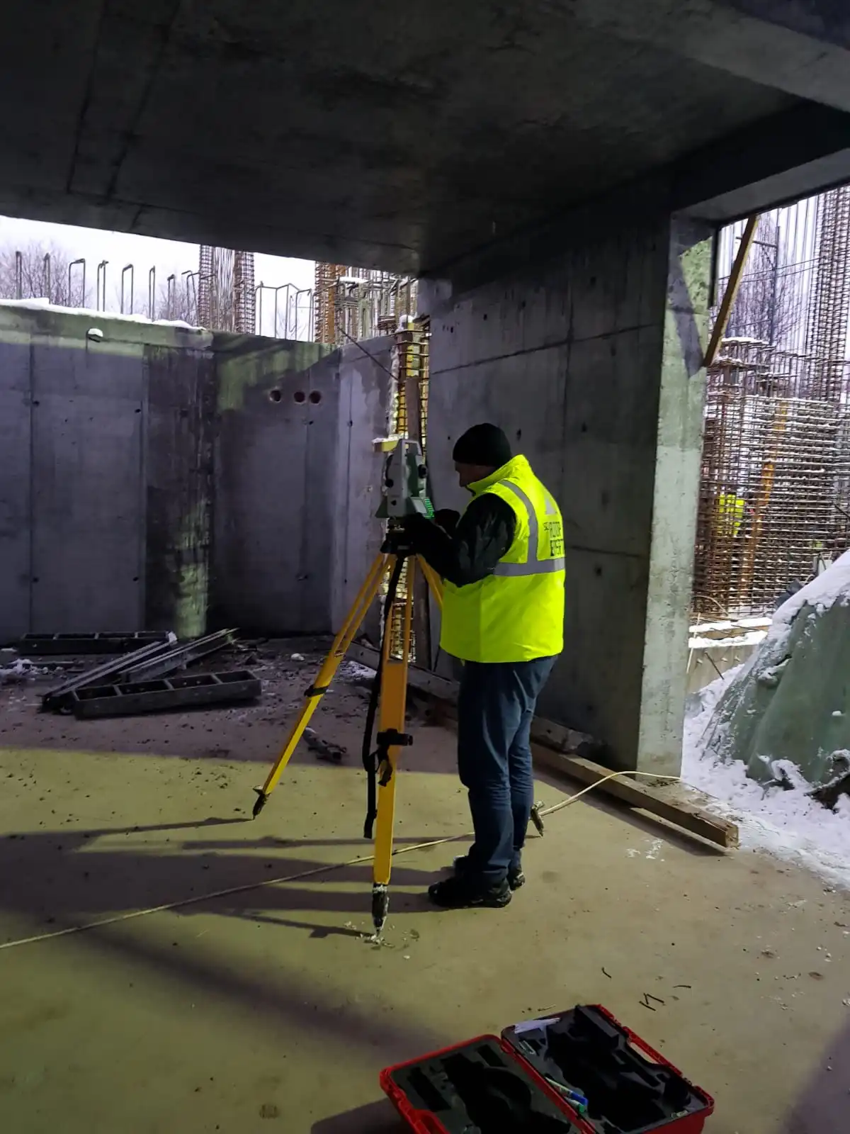
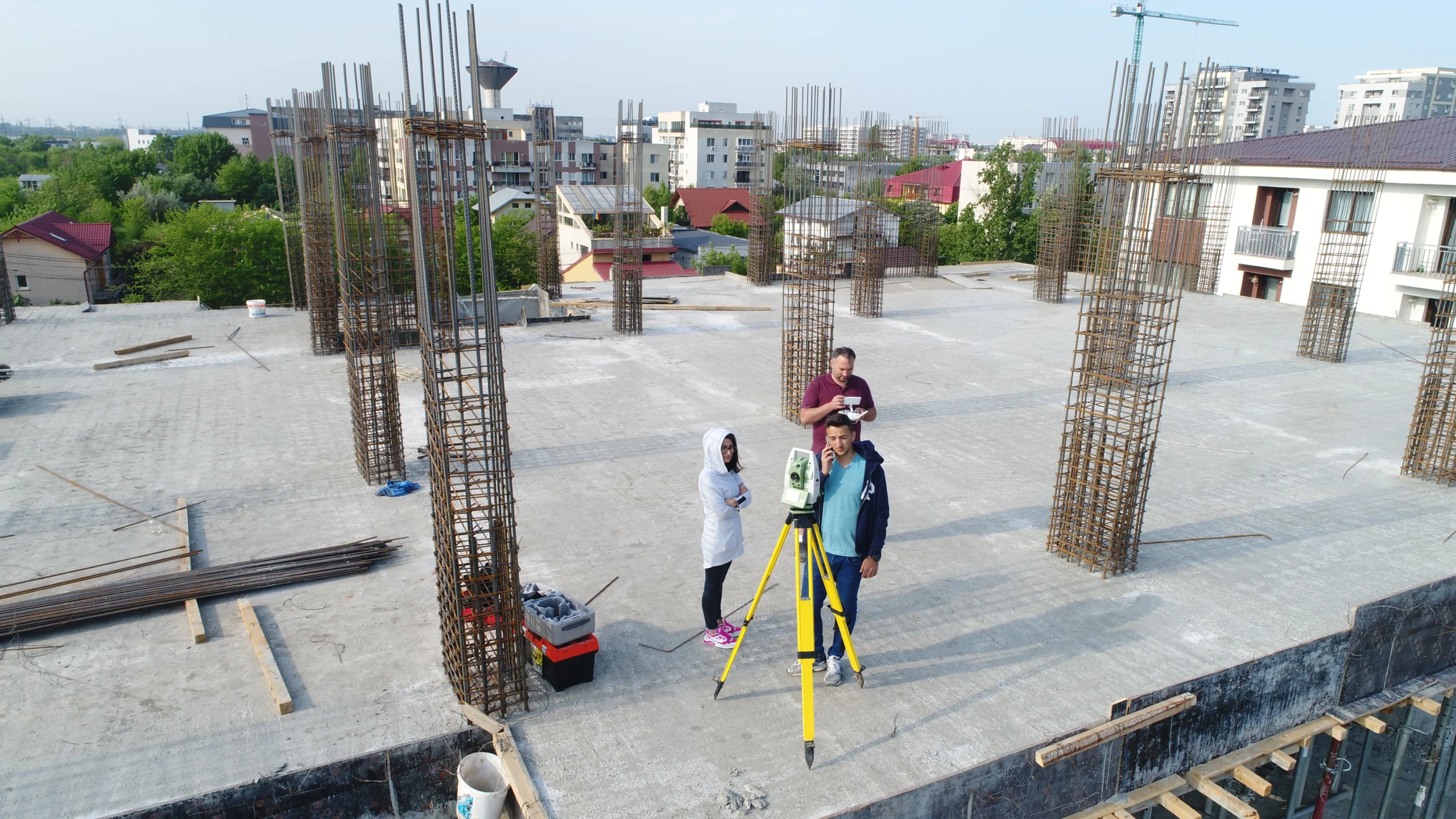
Surveying Services
Quality and reliability are fundamental pillars of our business. We are committed to delivering high quality surveying services in accordance with the highest professional and ethical standards. Every project is approached with attention to detail and thoroughness to ensure the complete satisfaction of our clients.

03
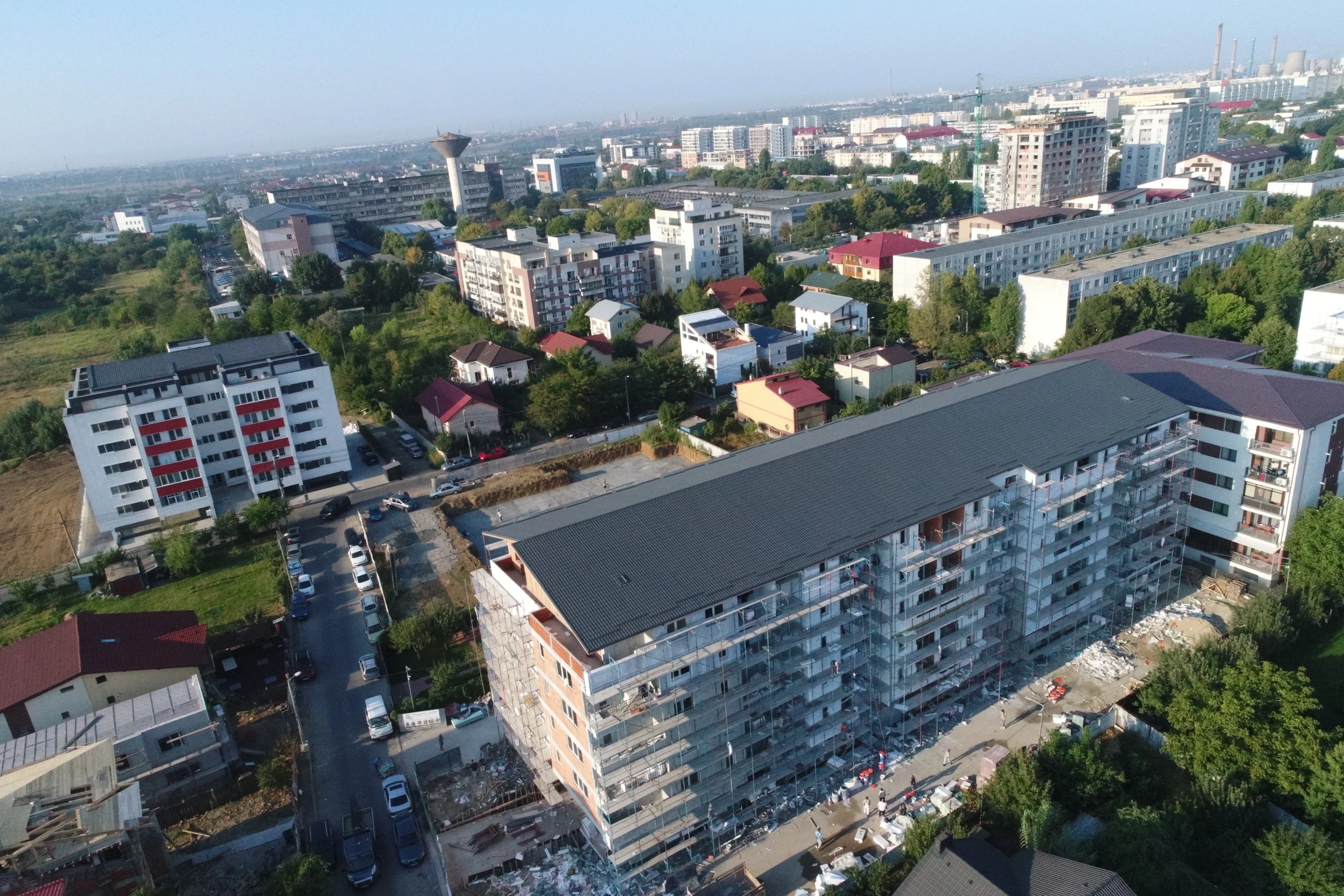
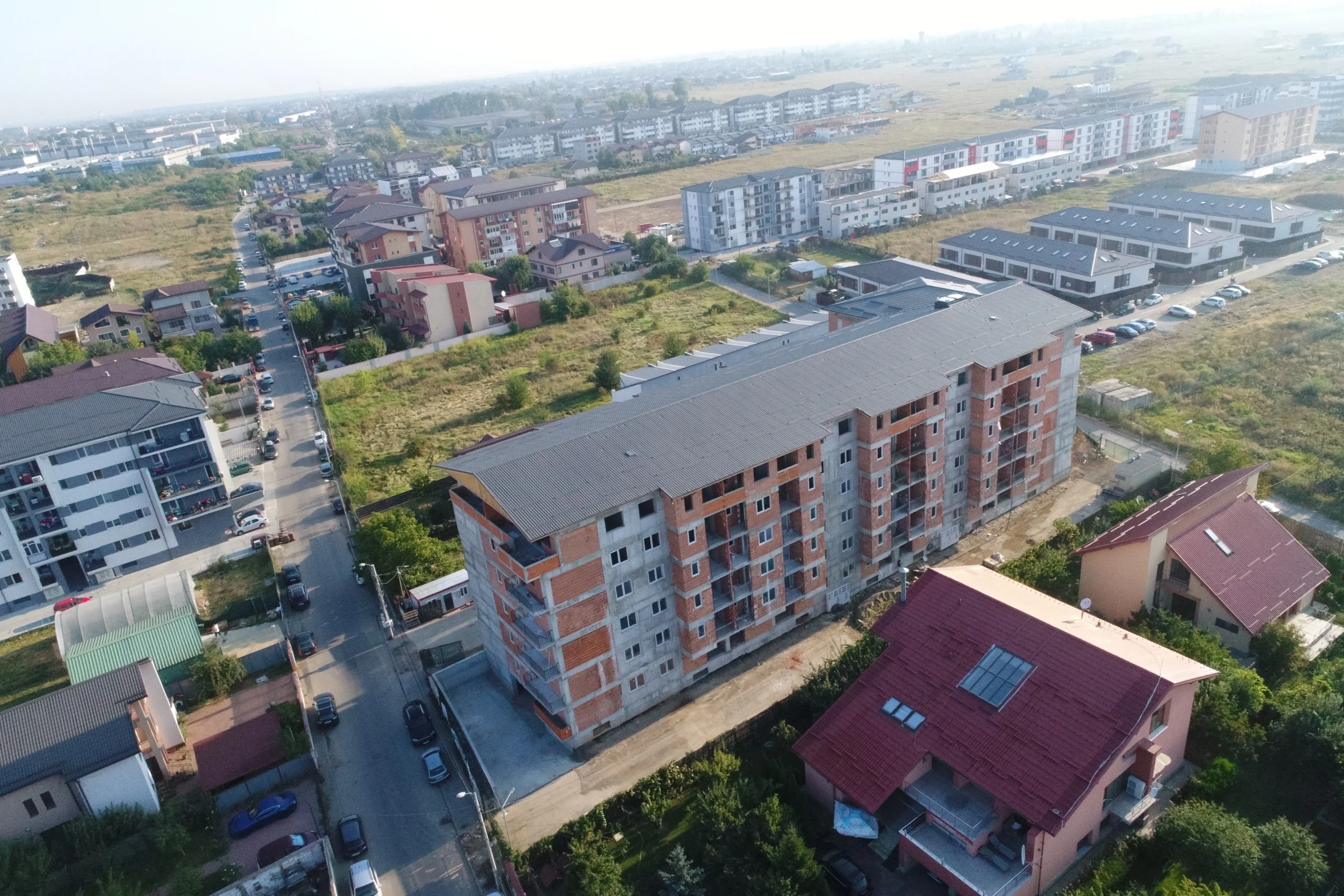
Photogrammetry Services
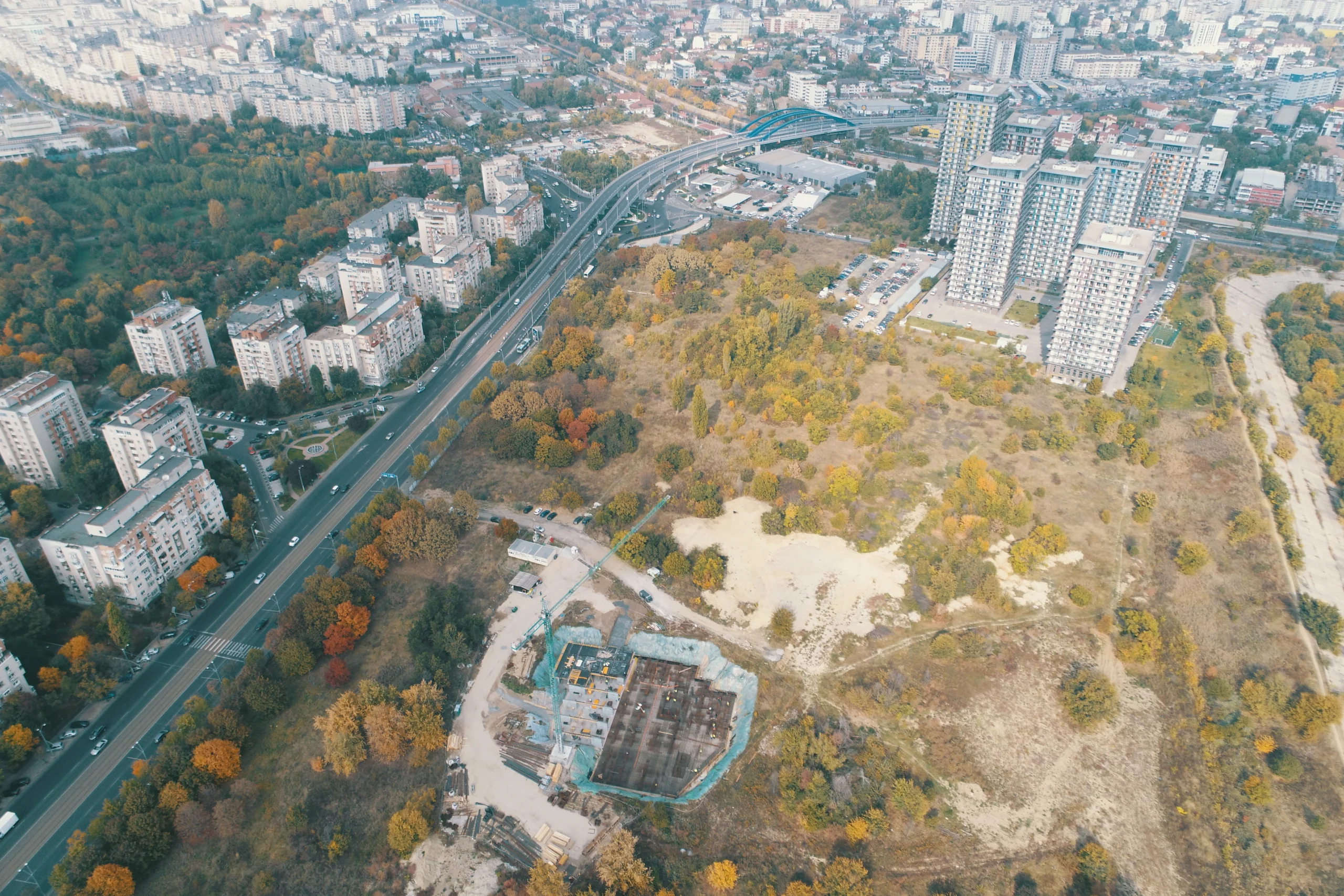
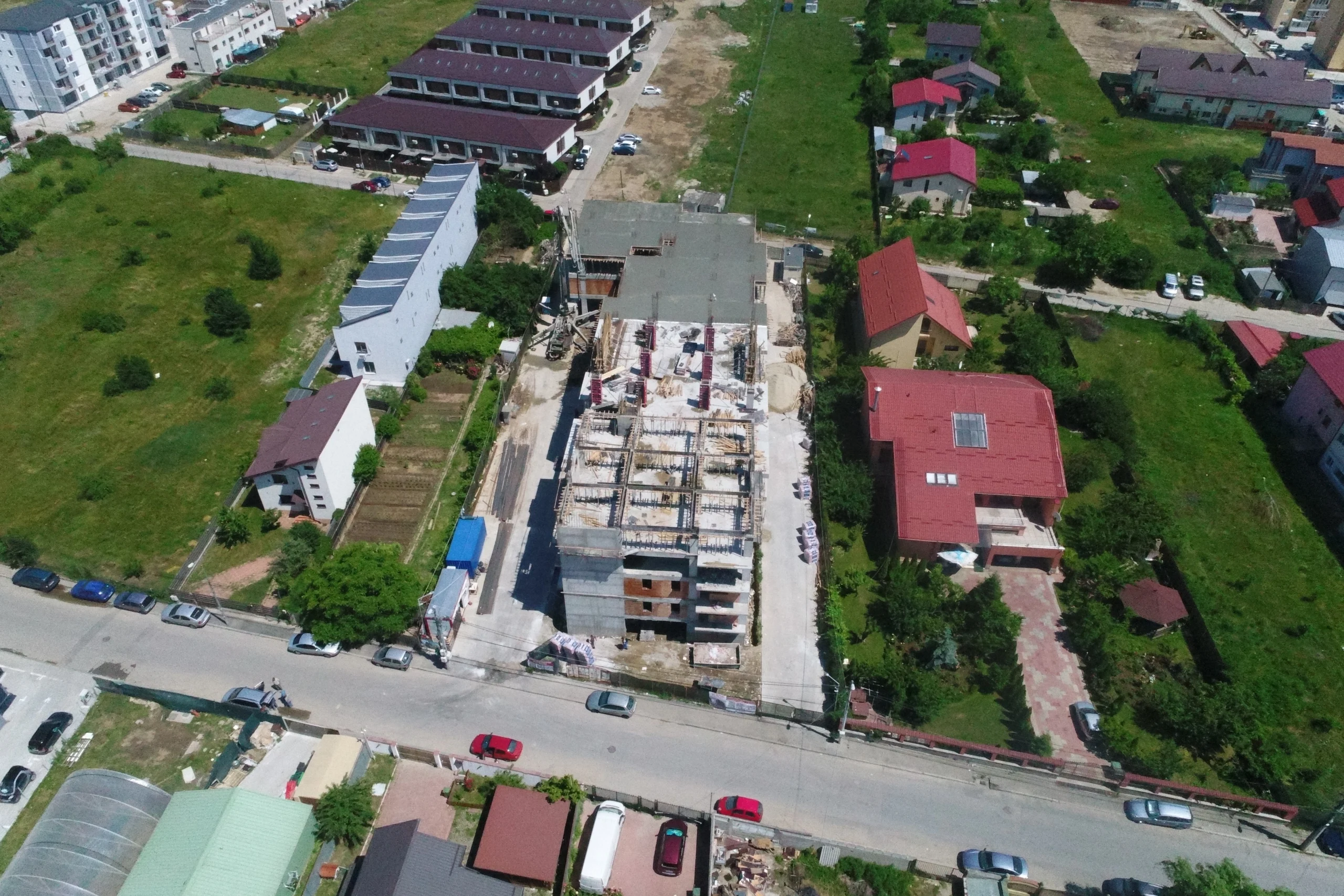
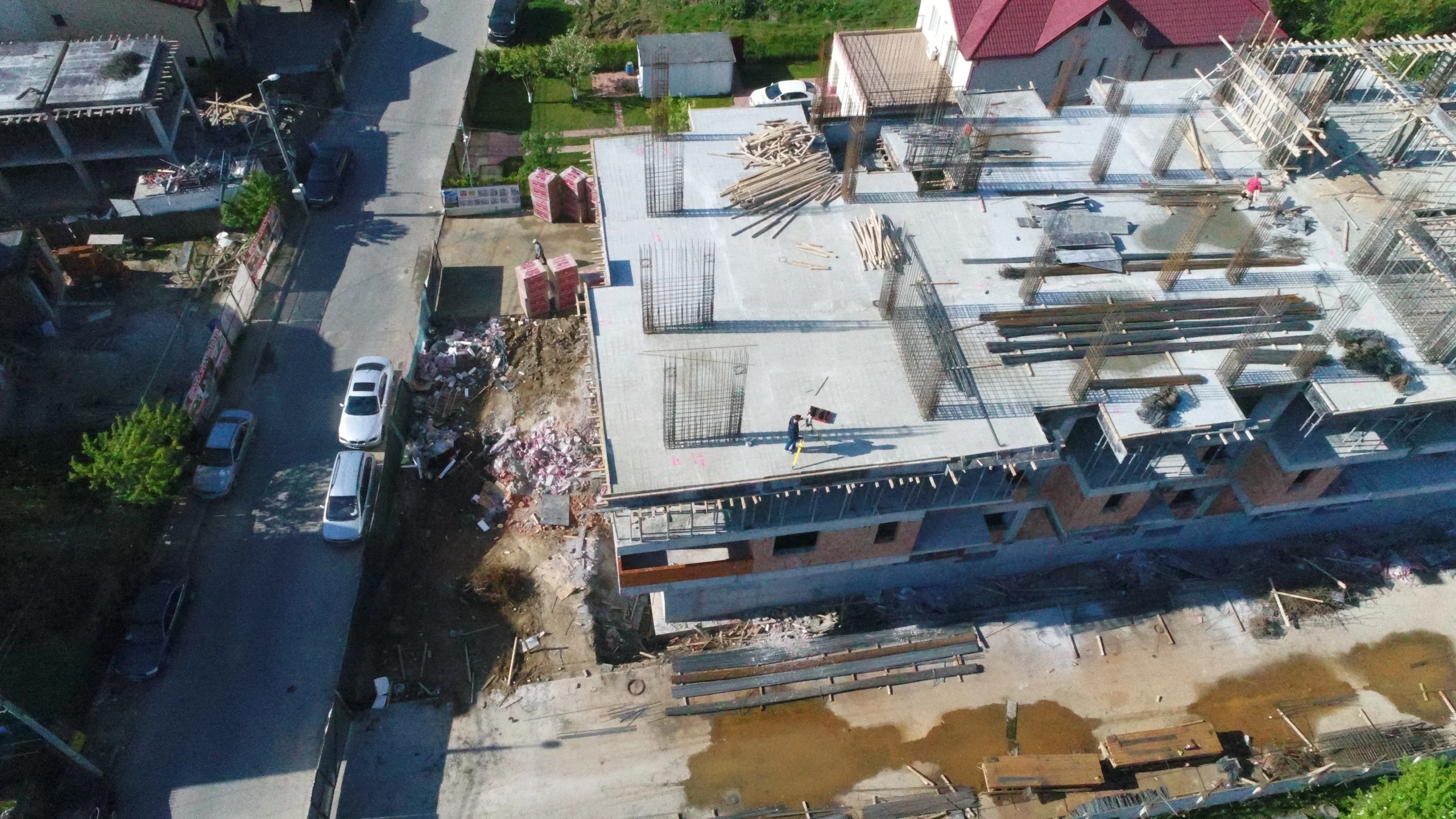
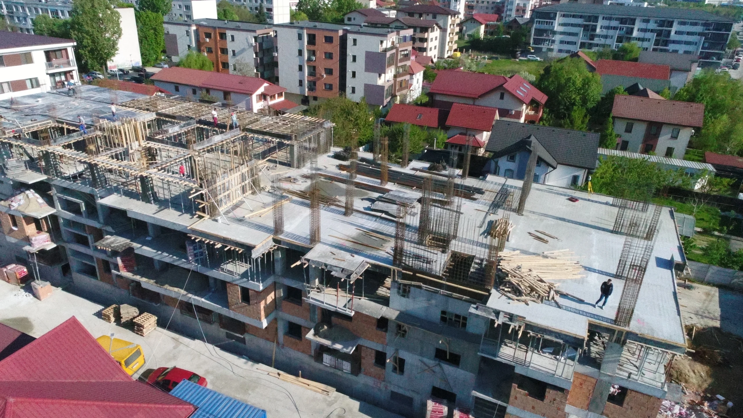
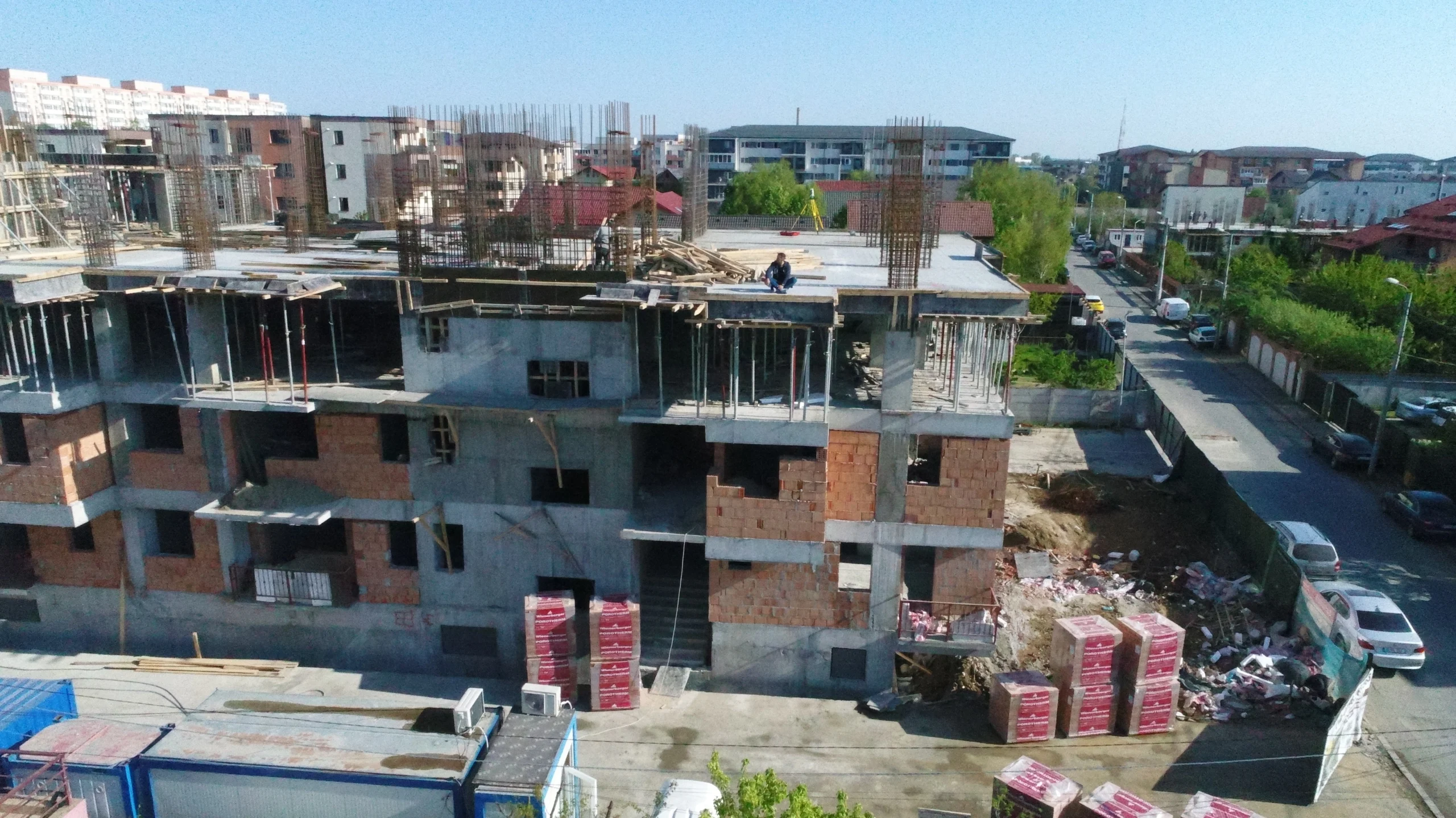
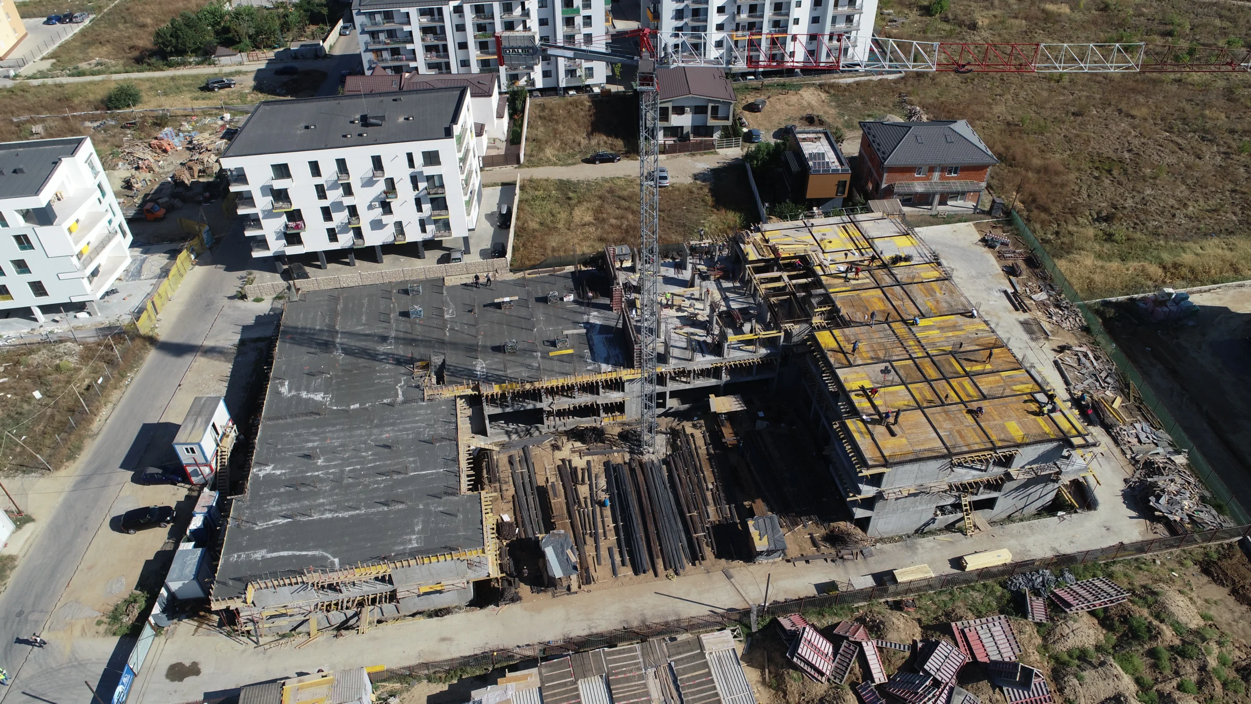
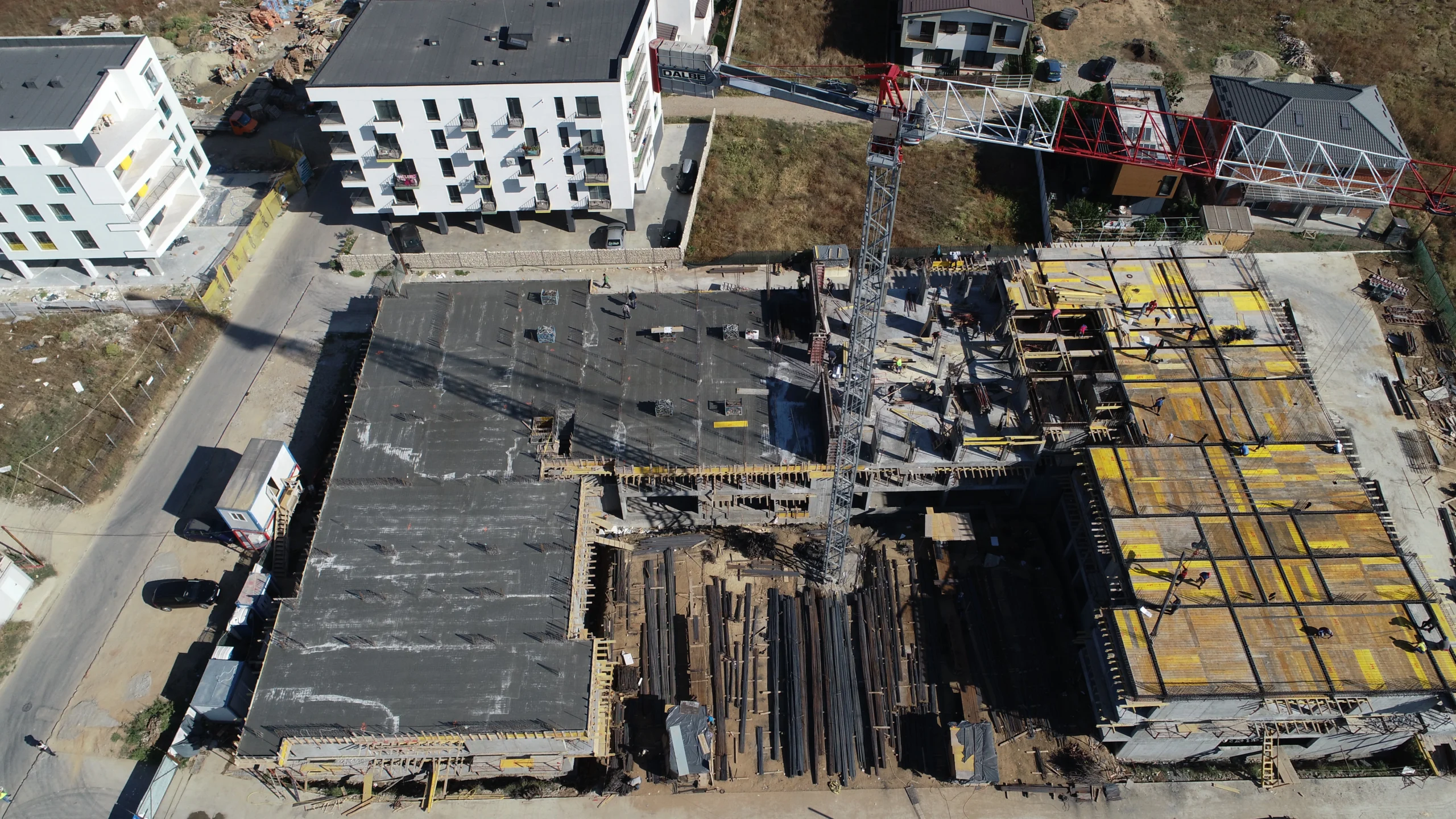
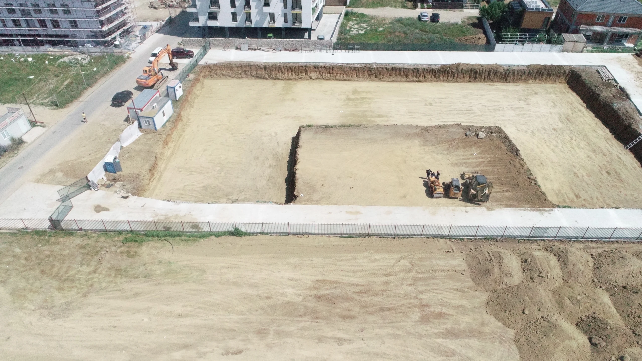
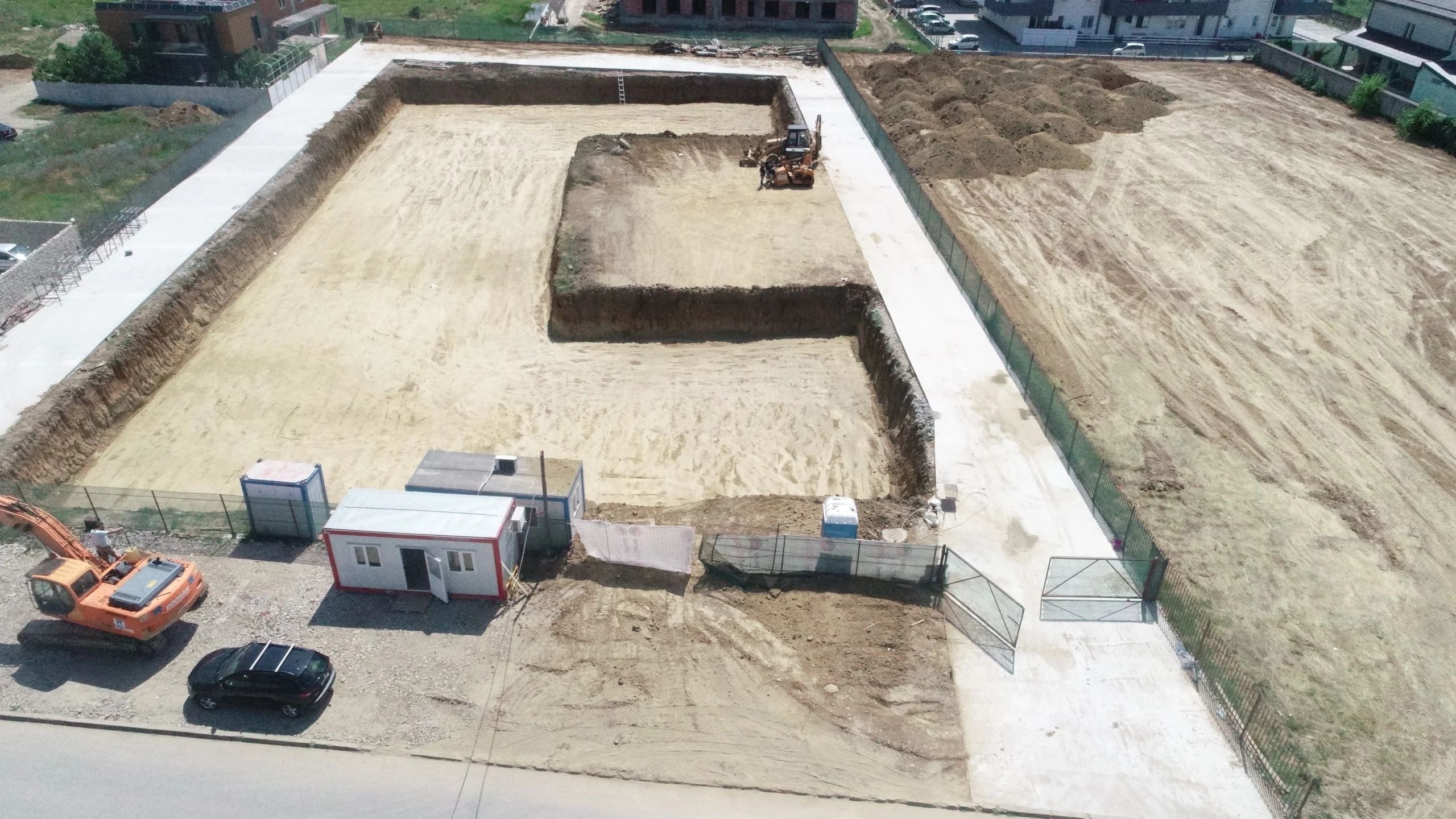
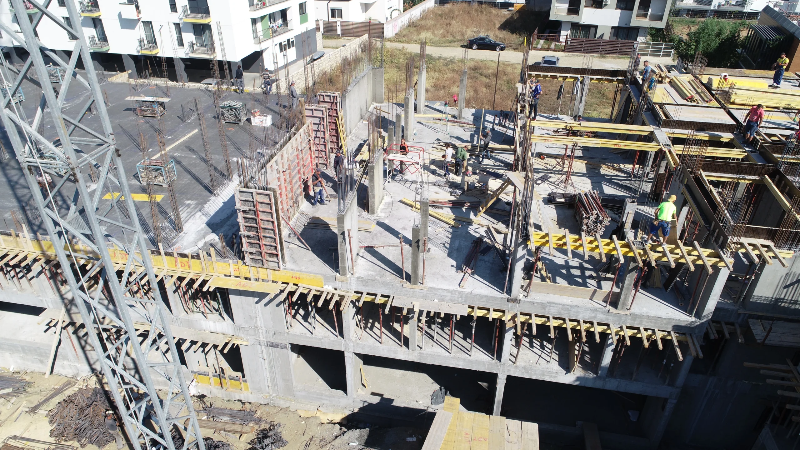
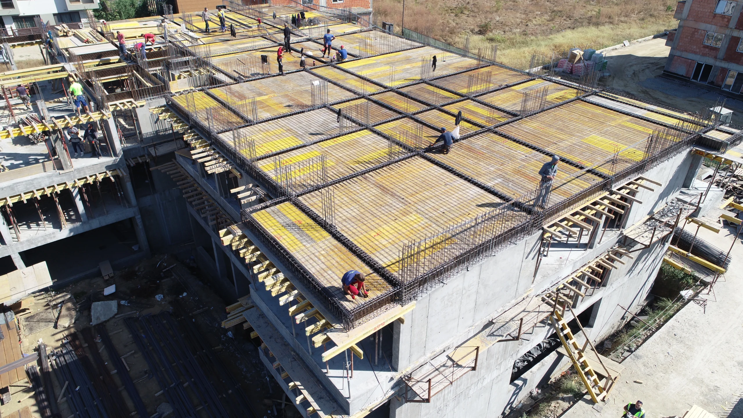
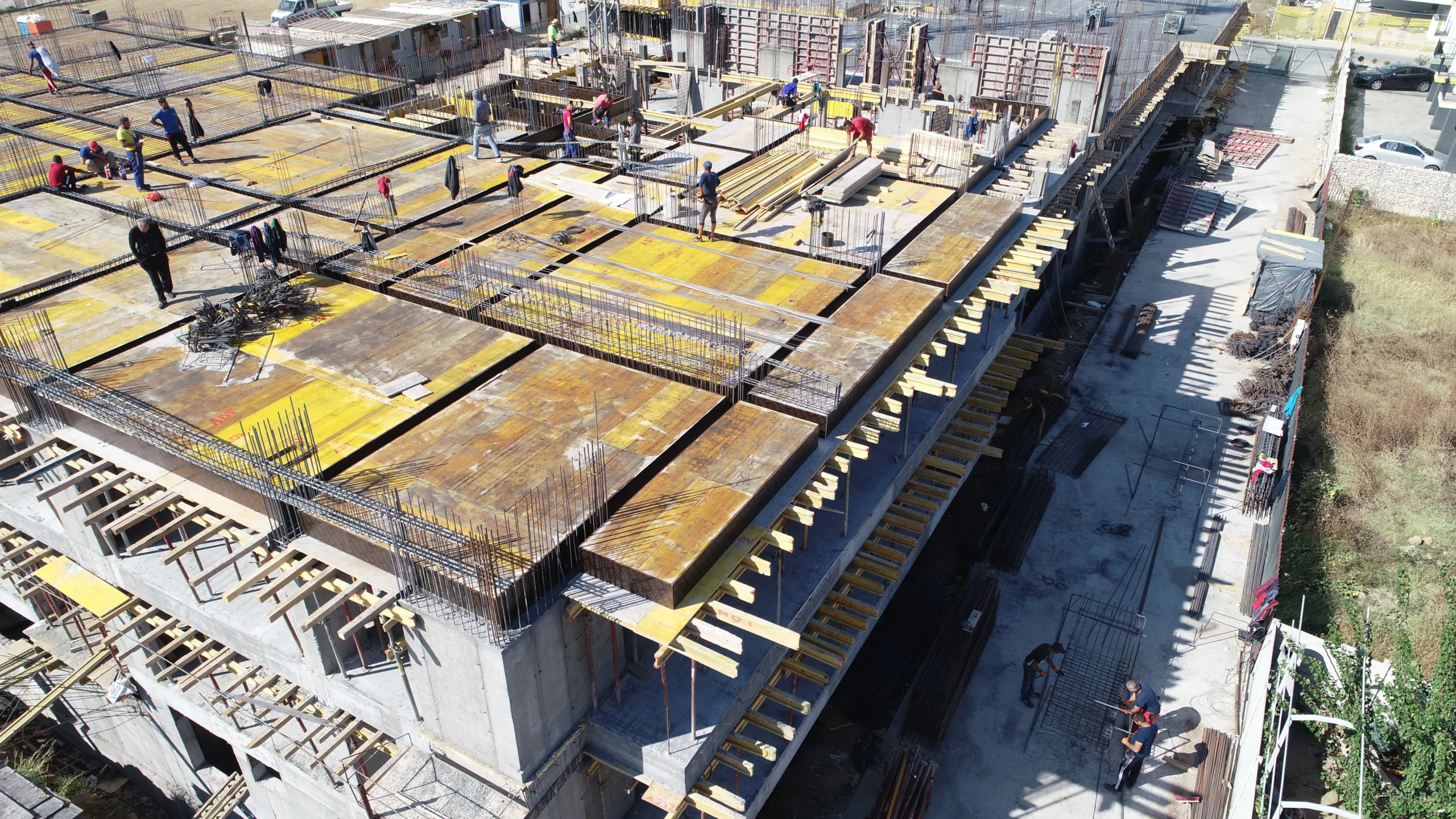
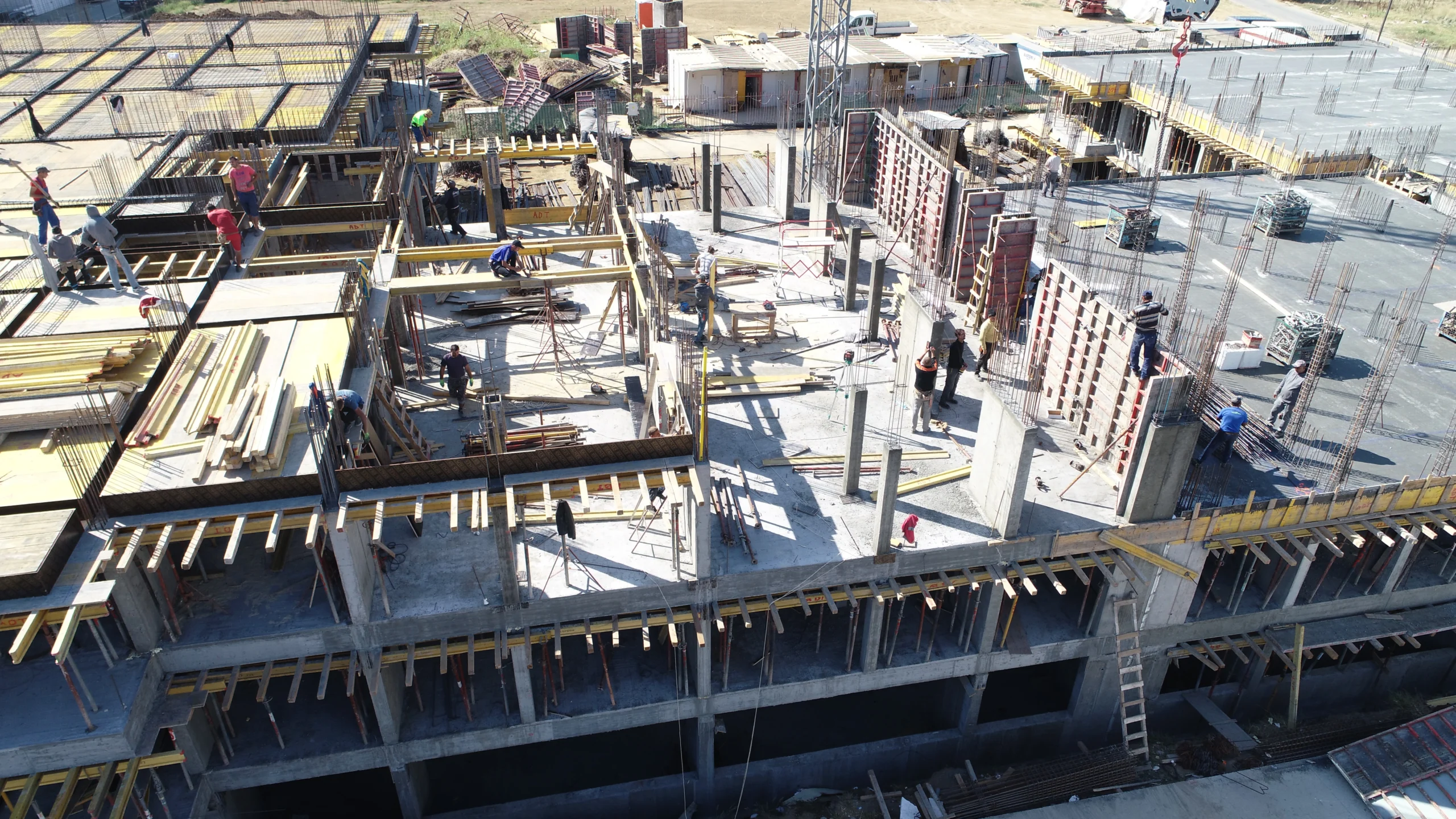
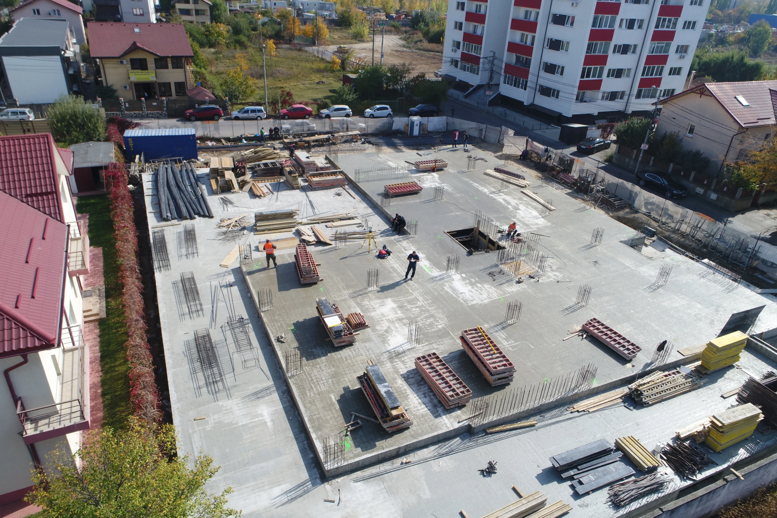
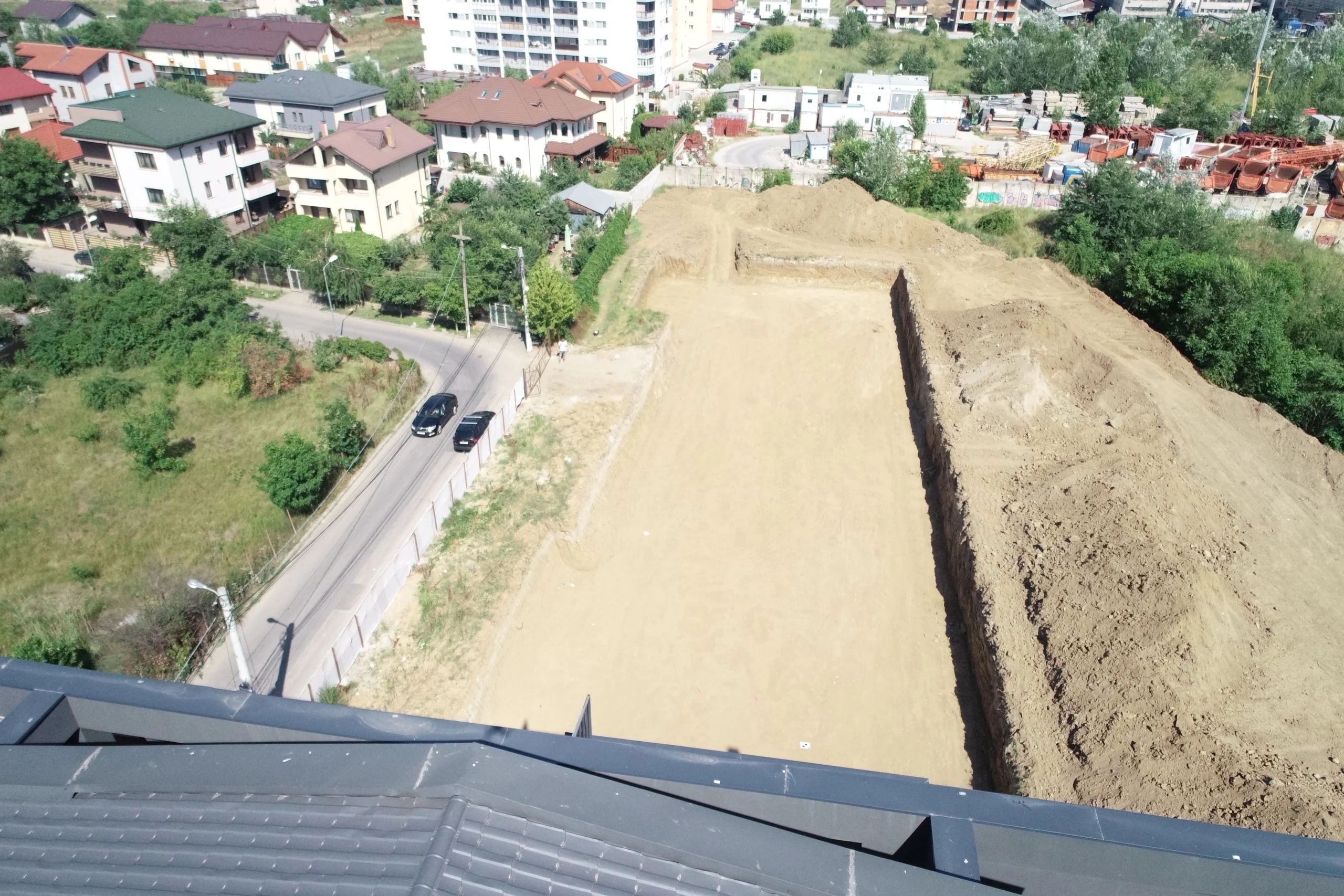
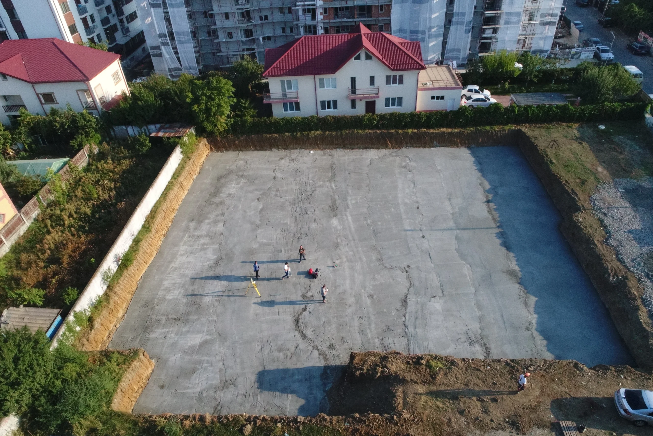
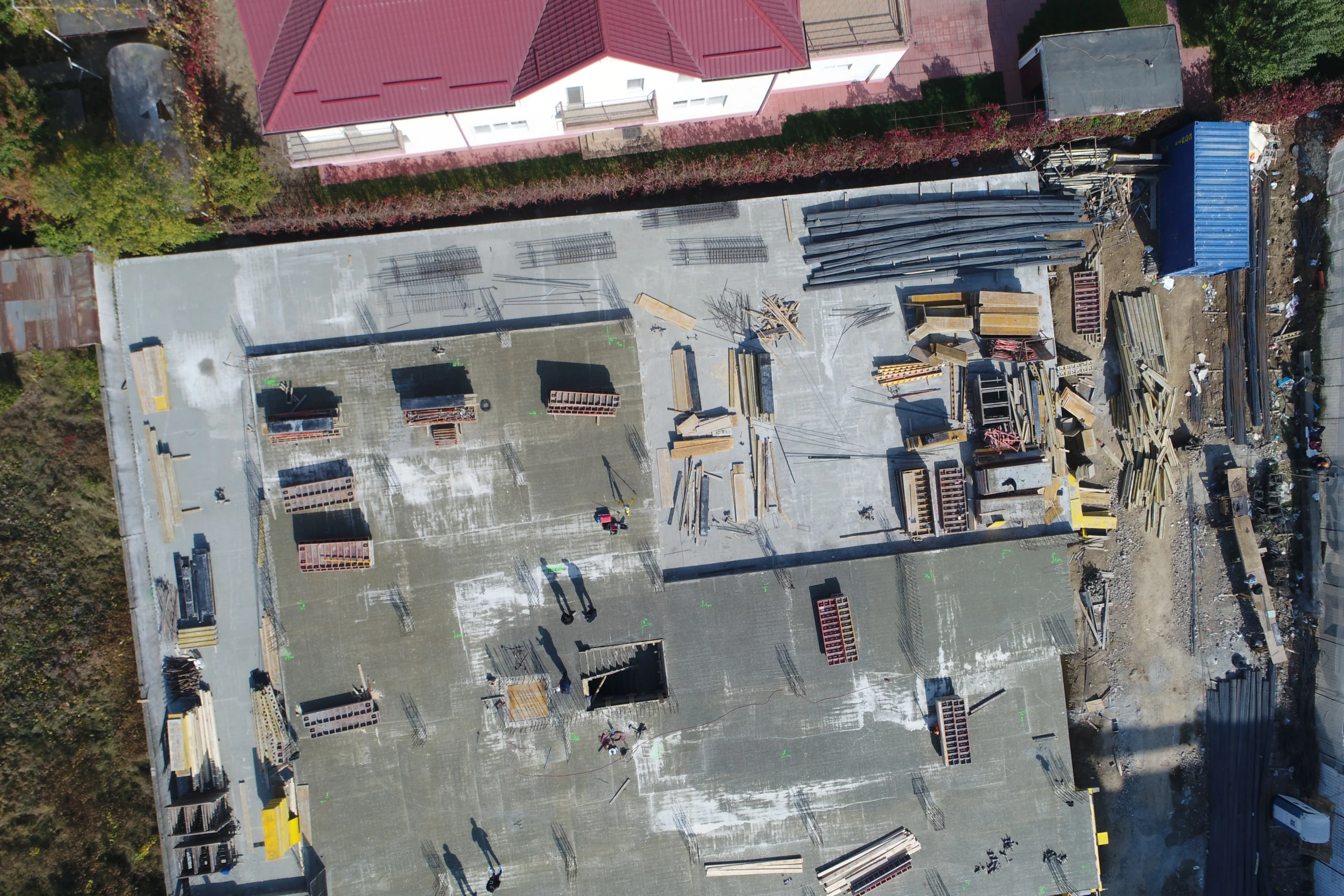
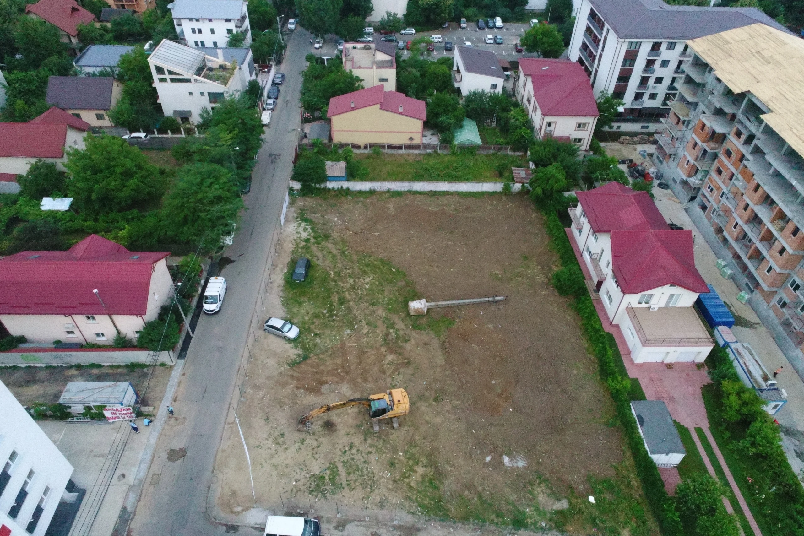
Photogrammetry is a measuring and mapping technique that uses photographic images to obtain information about surfaces and objects in the environment. Using drones and other specialised equipment, photogrammetrists in Calarasi are able to take accurate measurements and provide essential data for various construction, conservation and land-use planning projects.

04
Scanarea LiDAR
LiDAR este un sistem electronic ce face parte din familia senzorilor, mai precis din categoria de senzori Time Of Flight (ToF). Un senzor colectează date despre un parametru fizic precum temperatura, umiditatea, lumina, greutatea, distanța, în timp ce un sistem LiDAR măsoară distanța până la cel mai apropiat obstacol printr-un protocol de comunicare.
